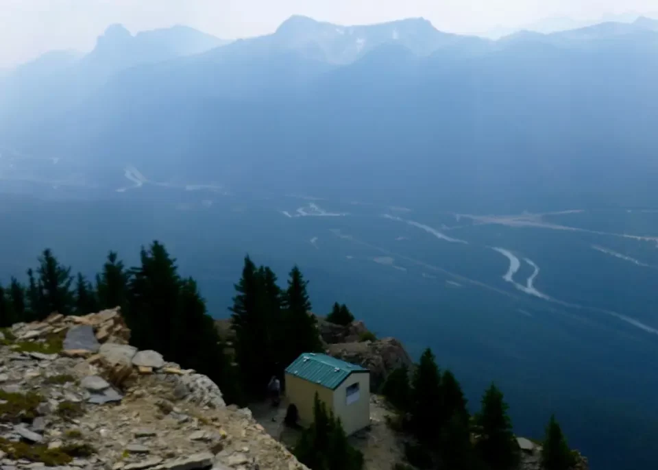
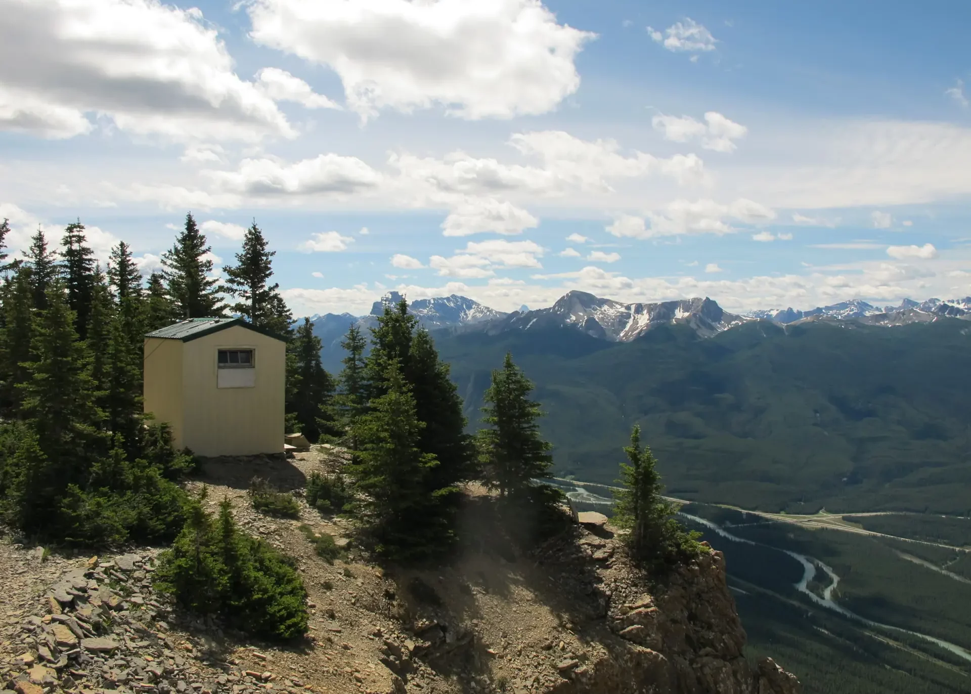
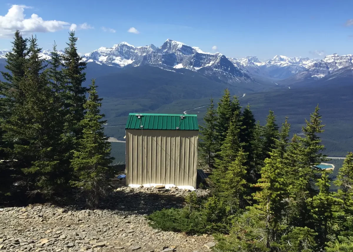
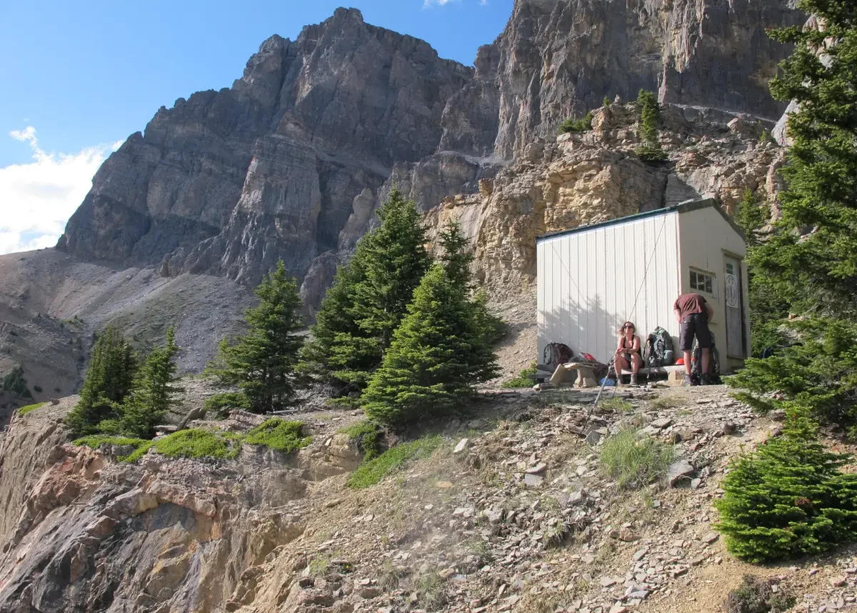
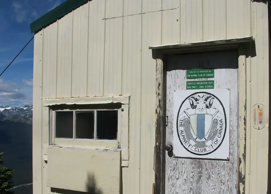
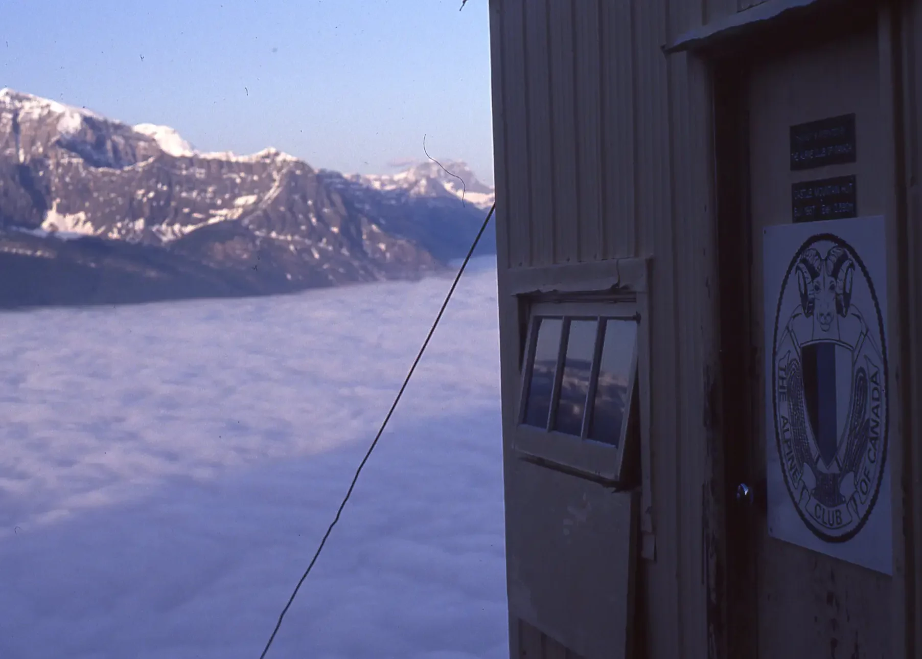
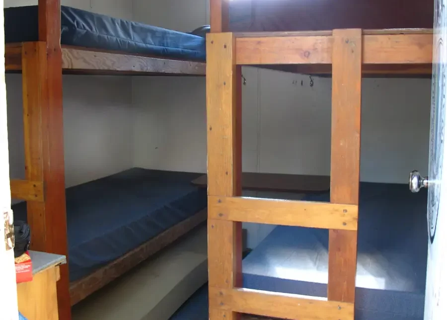
Castle Mountain Hut boasts one of the most exhilarating views in the Rockies and is the perfect base for climbing classic 5.6 traditional routes such as Brewer’s Buttress, Bass Buttress, and Eisenhower Tower on Castle Mountain. Perched on Goat Plateau, halfway up Castle Mountain in Banff National Park, this small shelter serves primarly as an overnight base for rock climbers aspiring to climb many of the traditional routes on the upper cliffs. Staying overnight at the hut cuts 3 to 4 hours off the approach hike for the upper cliff climbs. It’s also one of the most dramatically placed huts, with stunning views up and down the Bow Valley.
Note: the creek is an unreliable source of water and is sometimes dry. We recommend bringing your own water.
Fire Lookout Approach:
This is the standard approach to the hut, although the Rockbound Lake approach is used more often by parties climbing Eisenhower Tower and not staying at the hut. The Fire Lookout approach, however, is a more technical climb and therefore may appeal less to some.
Trailhead: From the Castle Junction on the 1A Highway, drive west for 4 .8km to a paved parking lot and the signed trailhead to the Fire Lookout.
Approach: Four kilometres of steady uphill hiking on an old fire road and trails takes you pretty close to the treeline and the site of the old fire lookout. With a commanding view of the entire valley, it is easy to see the logic in choosing this locale for the lookout. From here a number of trails continue up the slope in an easterly direction. The most advantageous trail is one which follows the left side of a rocky gully before crossing the gully at some boulders a few hundred metres up the slope. Once on the other side of the gully, follow more faint trails which switchback up toward the lower cliff band. Getting this lower cliff band is both the technical and route-finding crux of this approach. Many different (and more difficult) lines through here have been attempted by parties that did not locate the “diagonal break” through the cliff band. The diagonal break is the key to this approach – it certainly has the easiest climbing and is not too hard to find if you know what you are looking for. The correct break to ascend is one which diagonals upward to the right and is about 20m high. A very defined trail leads straight up to the base of it, and there is very little which looks climbable to its right (you end up in a large gross gully). If this does not seem like the piece of rock you are looking at, DON’T go up it. There are retreat slings from past parties in different places on this section of cliff; don’t let these sucker you up a bad line! In fact, if there are slings on the route you are looking at, it is probably wrong. The diagonal break itself is not difficult climbing (low 5th class), but if you take into account overnight packs, big boots and unfamiliar terrain, the commitment increases dramatically. It is highly recommended that you carry a rope and a rack on this approach to belay on this section.
Once above the diagonal break you will find trails and ledges leading up into a large gully. Follow these, and the small carns which mark them. These trails eventually round a buttress in the gully and take you into a parallel gully on the right. This portion of the trail occasionally gives parties some grief, particularly early in the season when snow remains in the gullies, covering some of the trail. Follow the cairns carefully.
The right hand gully takes you up through more trails and ledges to a slightly more involved scrambling section higher up. There are many possible routes through this scrambling section, some much better than others. You can follow cairns through much of it, until it gets a little steeper, at which point you have to resort to following trails on the ledges and worn sections on the rock. At any rate, the scrambling here is easier than any of the climbing through the diagonal break.
This gully eventually deposits you on the Goat Plateau, half way up Castle Mountain. From this point, follow the trails across Goat Plateau to the east for a couple of hundred metres to the hut.
Time & Distance: From the parking lot to the hut is approximately 3,000 feet of elevation gain. This is the same for the Rockbound Lake approach – it’s a pretty stiff grunt by either route. Standard time from the highway to the hut is three hours. This time will vary, of course, between parties. Expect to take slightly longer on your first time up this approach, as route-finding can be time consuming. The record for a trip from the hut to the Banff liquor store and back is 2 hours 50 minutes.
Rockbound Lake Approach:
This approach will appeal to those looking for a less technical route to the hut than the Fire Lookout approach, but while the climbing is easier, there is still a fair amount of scrambling to get onto Goat Plateau.
Approach: The approach hike begins at the Rockbound Lake trailhead about 50m east of Castle Junction.
Follow the main trail for 4 or 5 km to where the trail rounds the base of the Castle Mountain and begins to head northwest. Here you will find a section of the trail which is braided and swampy for most of the season just before it levels out toward Rockbound Lake itself. Approximately 70m past this braided section is a faint trail heading off to the let from the main trail. Follow this faint trail along the forested crest of the ridge leading to the cliffs at the southeast extremity of Castle Mountain. Scramble up easy ground to an obvious ledge which traverses back around to the highway side of the mountain. The trail on this ledge is well worn and easy to identify. Follow this trail around the corner (less than 100metres) and scramble up more ledges (somewhat more exposed) toward an obvious large gully that takes you to Goat Plateau. The best trail to follow along the plateau to the hut is one which is high up on the plateau, at the base of the upper cliff. It might not be a bad idea to wear a helmet for this portion of the approach.
Time & Distance: This is going to be approximately the same as for the Fire Lookout Approach; about three hours and 3,000 feet.
Some literature, including the first edition of the ACC Facilities Directory, has suggested that an alternate route to the Goat Plateau is to traverse right instead of left around the lower buttress to another gully. This way takes you to the plateau from the Rockbound Lake side of the mountain rather than the highway side. This route is much more dangerous in both the traverse and the gully itself (actually quite gross), and it puts you on the far side of the mountain from where you want to go, be it the hut or the Eisenhower Tower. Anyone suggesting this route to you should be treated with suspicion.